
Egypt tourism map 2026 depicts a country much richer than one imagines when arriving. Its 1,010,000 km² (almost twice the size of France) is organized around the Nile in the center, the Western Desert in the west, the Red Sea in the east, the Sinai in the northeast and the Mediterranean in the north. For a English-speaking traveler, understanding this geography in advance saves 2 to 3 days of optimization on the itinerary and avoids classic errors (underestimating the Cairo-Hurghada distances, mixing Sinai and Red Sea, believing that Luxor is near Cairo). Our SEV team presents to you here the egypt tourist map 2026 with its 6 key regions, actual distances between cities, and 4 recommended itineraries depending on your length of stay.
Unsure how the geography of your trip fits together?
The SEV team builds your optimized itinerary according to the regions to see and your available days. WhatsApp response within 1 hour.
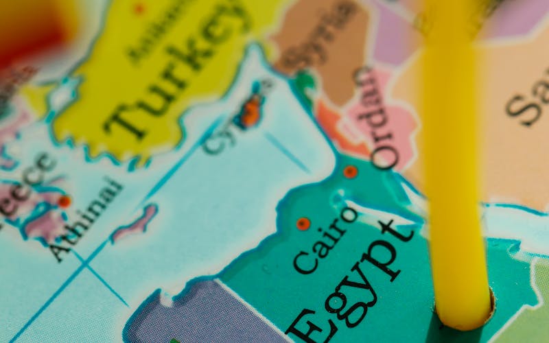
Overview - the 6 tourist regions of Egypt
The egypt map can be read according to 6 major tourist areas, each with its identity, its climate and its major sites. Understanding this breakdown helps structure your trip and avoid unnecessary travel between distant regions.
| Region | Capital | Featured sites | Ideal duration |
|---|---|---|---|
| Cairo and Lower Egypt | Cairo | Pyramids Giza, GEM, Saqqara, Khan el-Khalili | 2-4 days |
| Nile Valley | Luxor | Abu Simbel, Philae, the Valley of the Kings and Karnak | 4-7 days |
| Red Sea | Hurghada | Hurghada, Marsa Alam, El Gouna, Giftun Island | 3-7 days |
| Sinai | Sharm el-Sheikh | Sharm, Dahab, Mount Sinai, Saint Catherine | 3-5 days |
| Western Desert | Bahariya | White Desert, Black Desert, Siwa, Crystal Mountain | 3-5 days |
| Mediterranean | Alexandria | Bibliotheca Alexandrina, Citadel of Qaitbay, Pompey | 1-2 days |
Look at the 2026 tourist map of egypt and one thing leaps out: 95% of Egyptians live on just 4% of the land, squeezed along the river and across the delta. Everything else is empty. That is exactly why every great pharaonic site sits in a line along the Nile, running south from Cairo down to Aswan.
Cairo and Lower Egypt on map
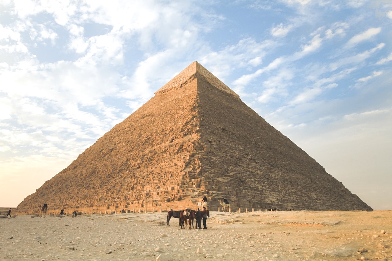
Cairo occupies a strategic position on the egypt map - at the tip of the Nile Delta, 200 km from the Mediterranean and 18 km east of the Pyramids of Giza. It is the largest metropolis in Africa with 22 million inhabitants in the urban area. All trips to Egypt start or end here thanks to Cairo International Airport (CAI).
Lower Egypt on the regional map (a quirk of naming, since it is the north, where the river runs "down" to the Mediterranean) takes in:
- Giza Plateau: the Sphinx, the 3 pyramids (Mykerinos, Chephren and Khufu) and the Grand Egyptian Museum (GEM), open since November 2025, all 18 km west of the centre of Cairo.
- Saqqara, 30 km south of the capital, where you find Djoser's step pyramid (the world's oldest, dating from 2,670 BC) and the burial grounds of Memphis.
- Memphis - 25 km to the south, former capital of the Old Kingdom, ruins of the palace and monumental statues of Ramses II.
- Dahshur - 40 km to the south, red pyramid and rhomboidal pyramid of Snéfrou, alternative to the Pyramids of Giza often less frequented.
- Alexandria - 220 km northwest on the Mediterranean, accessible in 2h30 by train or car (read our Alexandria stopover guide).
Distance and key routes from Cairo:
- From Tahrir in central Cairo out to the Giza Pyramids: 18 km, 35-75 min
- Cairo Center ↔ GEM - 18 km / 35-75 min
- Downtown Cairo ↔ Saqqara - 30 km / 50 min
- Cairo Center ↔ CAI Airport - 22 km / 30-60 min
- Center Cairo ↔ Alexandria - 220 km / 2h30 train or car
The Nile Valley, Luxor down to Aswan
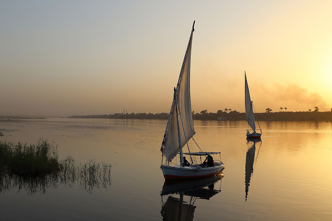
Look at the egypt map and the southern spine of tourism is obvious: the stretch of Nile Valley between Luxor and Aswan, 230 km apart, holds most of the country's temples and royal tombs. It is also the route of the Nile cruises, which run for 3, 4 or 7 nights depending on which boat you choose and which way it sails.
The principal sites, listed from north to south down the river:
- Luxor (679 km south of Cairo): Medinet Habu, the Colossi of Memnon, Hatshepsut's temple, the Valleys of the Kings and Queens, Karnak and Luxor temples, and LXR airport.
- Edfu (115 km south of Luxor): home to the finest surviving temple of Horus anywhere in Egypt, and a stop no cruise skips.
- Kom Ombo (180 km south of Luxor) - double temple dedicated to Sobek (crocodile) and Haroëris (falcon), museum of mummified crocodiles.
- Esna (60 km south of Luxor) - Khnoum temple, strategic lock for cruise ships.
- Aswan (230 km south of Luxor) - ASW airport, Philae temple on Aguilkia island, Elephantine island, Aga Khan mausoleum, high dam, unfinished obelisk.
- Abu Simbel (280 km south of Aswan) - the two colossal temples of Ramesses II and Nefertari, accessible by convoy (4 hours by road or 45 minutes by plane).
The Red Sea - resorts on the map
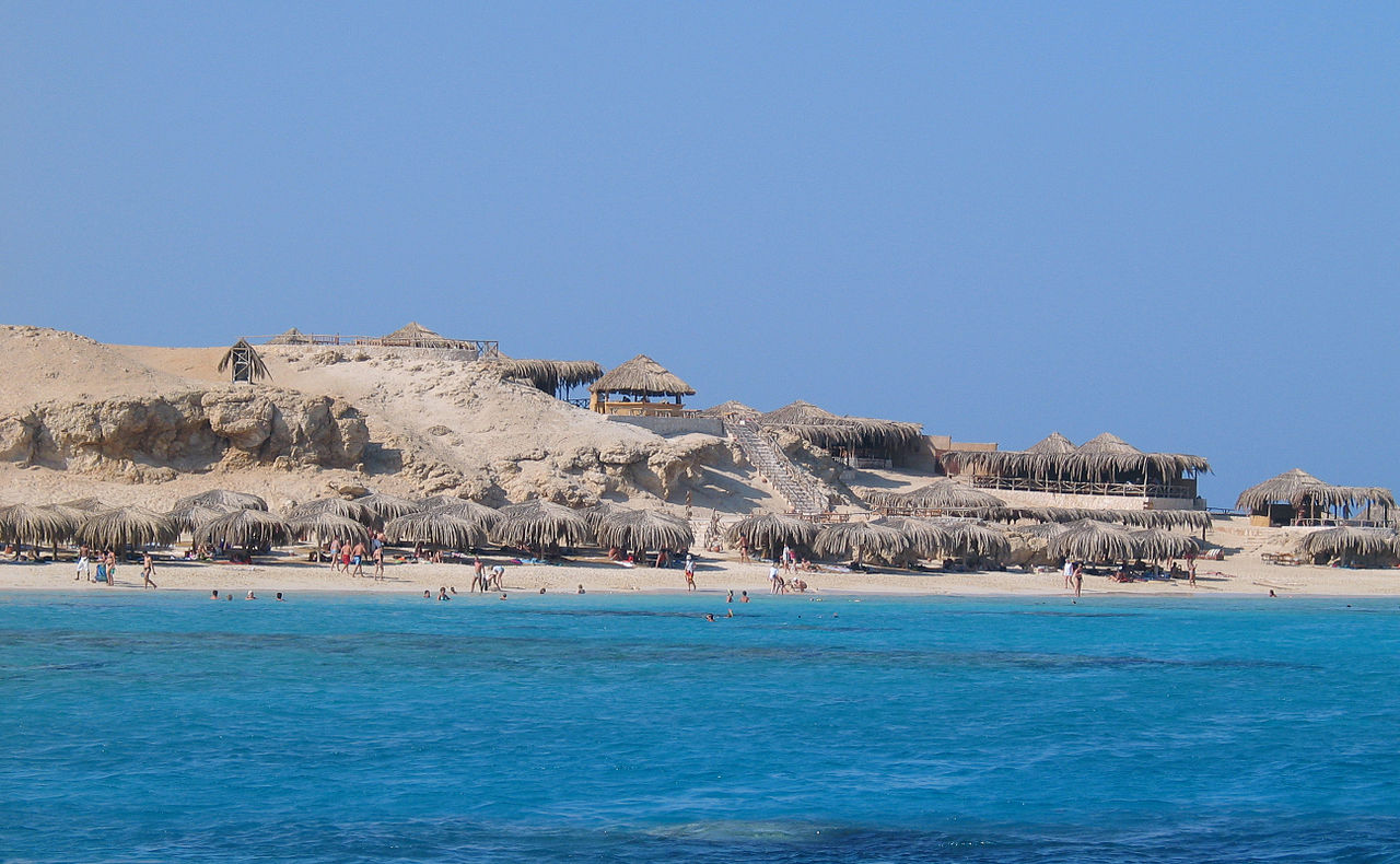
On the egypt map On the east side, the Red Sea stretches over 1,050 km of coastline between the Gulf of Suez (north) and the Sudanese border (south). The seaside resorts are concentrated over 250 km around Hurghada (read our guide visit Hurghada 2026).
From north to south:
- El Gouna (25 km north of Hurghada) - high-end resort built on artificial islands, golf, marina, European atmosphere.
- Hurghada (center) - HRG airport, largest resort on the Red Sea, beaches of Sahl Hasheesh and Makadi Bay in the south.
- Safaga (60 km south of Hurghada) - diving station and port of call for Mediterranean cruises.
- El Quseir (140 km south of Hurghada) - historic fishing village, preserved diving.
- Marsa Alam (290 km south of Hurghada) - RMF airport, diving with dolphins (Dolphin House), turtles in Abu Dabbab, virgin coral reefs.
On the other side of the Gulf of Suez, on the Sinai (read dedicated section below), the Sharm el-Sheikh, Dahab, Nuweiba and Taba resorts complete the Red Sea seaside offer with a slightly warmer climate and the Ras Mohamed reef among the most beautiful diving spots in the world.
Fancy pairing Cairo with a Nile cruise and the Red Sea?
The SEV team organizes your internal CAI-LXR-HRG flights, private transfers and hand-picked hotels. Custom quote in 24 hours.
Sinai and Mount Moses
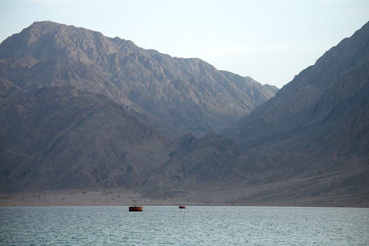
On the map the Sinai shows up as a 60,000 km² wedge of land between the Egyptian mainland (Suez on its western side) and Israel/Jordan to the east. It feels like a different country: a more continental climate, dramatic red granite mountains and deep biblical roots (Mount Moses, St. Catherine's Monastery).
- Sharm el-Sheikh: SSH airport, Sinai's biggest resort, Ras Mohamed National Park for diving and Naama Bay for the nightlife.
- Dahab (90 km north of Sharm) - hippie/sports village, Blue Hole for snorkeling, backpacker atmosphere.
- Nuweiba and Taba (175 and 215 km north of Sharm) - border stations with Israel, ferry to Aqaba (Jordan).
- Mount Sinai (Mount Moses, 2,285 m): climb overnight to see sunrise from the summit, a moving experience.
- Saint Catherine Monastery - at the foot of Mount Sinai, oldest active Orthodox monastery (6th century), library of 6,000 manuscripts.
Important on the map - South Sinai (Sharm, Dahab) is secure and touristy. Northern Sinai (towards Israel) should be avoided for security reasons (read our security guide Egypt 2026).
Western Desert and Oasis

To the west of the river lies the western desert (also known as the Libyan Desert), 681,000 km² in all, or two-thirds of the country. On the map it is a near-blank expanse broken only by 5 major oases, strung out from north to south:
- Siwa (550 km west of Cairo, close to the Libyan frontier): a Berber oasis like no other, with Cleopatra's spring and the Temple of Amun where Alexander the Great was proclaimed pharaoh.
- Bahariya (370 km southwest of Cairo) - gateway to the White Desert, golden mummies from the local museum, thermal springs.
- Farafra (180 km south of Bahariya) - white village, starting point for the Black Desert and Crystal Mountain.
- Dakhla (310 km south of Farafra) - green oasis with dunes, medieval clay villages of Al-Qasr.
- Kharga (190 km east of Dakhla) - administrative oasis, Coptic cemetery of Bagawat, temple of Hibis.
Our full guide to the Egyptian desert will help you plan a 4x4 safari and a night camping under canvas.
Mediterranean and Nile Delta
North of Cairo, the Nile Delta stretches 240 km long and 200 km wide to the Mediterranean. It is the most fertile agricultural area in Egypt. Touristically, two cities stand out:
- Alexandria (220 km northwest of Cairo) - founded by Alexander the Great in 331 BC, second city in Egypt. Bibliotheca Alexandrina (modern replica 2002), Citadel of Qaitbay (old lighthouse), catacombs of Kom el-Choqafa, Pompey's Column.
- Port Said (220 km northeast of Cairo) - northern entrance to the Suez Canal, stopover for Mediterranean cruises. Belle Epoque colonial architecture.
Distances between main tourist cities
| Journey | Distance | Car | Airplane | Train |
|---|---|---|---|---|
| Cairo ↔ Luxor | 679 km | 10am | 1h10 | 9-12h |
| Cairo ↔ Aswan | 913 km | 12 p.m. | 1h25 | 12-3 p.m. |
| Cairo ↔ Hurghada | 450 km | 5:30 a.m. | 1h05 | N/A |
| Cairo ↔ Sharm el-Sheikh | 510 km | 7am | 1h10 | N/A |
| Cairo ↔ Alexandria | 220 km | 2h30 | N/A | 2h30 |
| Luxor ↔ Aswan | 230 km | 3h30 | N/A | 3-4h |
| Hurghada ↔ Luxor | 290 km | 4:30 a.m. | N/A | N/A |
| Hurghada ↔ Marsa Alam | 290 km | 4h | N/A | N/A |
| Sharm ↔ Dahab | 90 km | 1h30 | N/A | N/A |
A tip from SEV: for long hops, EgyptAir's domestic flights are hard to beat (Cairo to Luxor takes 1h10 rather than 10h by road). Reckon on 80-£120 one way, depending on season. Domestic flights come as standard in our bespoke Egypt tours.
Recommended itineraries according to your days
5-day itinerary - Cairo express
For a short stay, stay on Cairo and the Giza Plateau - you see the Pyramids, GEM, Tahrir Museum, Khan el-Khalili and an excursion to Saqqara/Memphis. See our 5-day getaway package in Cairo.
7-day itinerary - Cairo + Hurghada
Pair 3 days of culture in Cairo (Pyramids, GEM, the Khan) with 4 days on the coast at Hurghada (beaches, Giftun diving, a desert trip). The CAI-HRG flight takes 1h05. Perfect for families, or anyone wanting sightseeing and sunbathing in one holiday.
10-day itinerary - Cairo + Nile Cruise
The most popular route among our English-speaking customers. 3 days in Cairo, flight to Luxor, 4 nights Luxor-Aswan cruise with stopovers in Edfu and Kom Ombo, 1 night Aswan, return flight or extension to Abu Simbel. See our Nile + Cairo cruise package 2026.
14 days itinerary - Complete tour of Egypt
To see all main regions - 3 days Cairo, 5 days Nile cruise with Abu Simbel extension, 4 days Red Sea to Hurghada or Marsa Alam, 2 days white desert with bivouac. It is the reference trip to understand the diversity of the country. See our 12-14 day tour Cairo-Marsa Alam.
Interactive and downloadable map
To prepare your trip with a egypt map dynamic, several free resources:
- Google Maps Egypt - allows you to measure real distances, see traffic, consult reviews on each tourist site. Download the offline version before traveling (offline areas available).
- Maps.me: works offline with tourist points of interest marked, ideal in the desert where there is no signal.
- OpenStreetMap: free and community-built, with excellent detail on archaeological sites.
- Topographic map of Egypt: a free PDF you can download from the Egyptian Ministry of Tourism site (egypt.travel).
The SEV team provides its clients with a personalized travel map with hotel markers, sites visited, recommended restaurants, and local emergency numbers. Paper format + mobile PDF.
FAQ - Frequently Asked Questions About Egypt Map
How many days to see most of Egypt?
Minimum 7 days for Cairo + Nile express cruise (3-4 nights). 10-14 days to add Red Sea or desert. 21 days to explore all major regions in depth. Less than 5 days, stay in Cairo only.
Which airport city should I choose to arrive in Egypt?
Cairo (CAI) - the most connected, direct Air France/Egypt Air flights from Paris/Lyon/Geneva. Hurghada (HRG) - charter flights from many European cities. Sharm el-Sheikh (SSH) - mainly charter flights. Marsa Alam (RMF) - seasonal flights. Luxor (LXR) - cruise charter flights, sometimes direct from Paris.
How far is Cairo from the Pyramids?
The Giza Plateau lies 18 km from Tahrir Square in central Cairo. By taxi or Uber that means anything from 35 to 75 minutes, depending on the traffic. The Grand Egyptian Museum (GEM) sits 2 km east of the Pyramids along the same road.
How long is the journey from the north of Egypt to the south?
Alexandria on the Mediterranean to Abu Simbel on the Sudanese border is 1,400 km as the crow flies. Driving it via Cairo and the Nile Valley takes 18 to 22 hours. Flying, with one change, it is roughly 4 hours in the air all told.
Does Sinai share a map with Hurghada?
They appear on the same map, yes, but they are two separate regions with the Gulf of Suez between them. Hurghada sits on the mainland, on the western shore of the Red Sea, while Sharm el-Sheikh is across the water on the Sinai Peninsula. Getting from Hurghada to Sharm means either the ferry (8 hours via Suez) or a domestic flight (1 hour via Cairo).
Is there a free official tourist map?
Yes, the Egyptian Ministry of Tourism distributes the Egypt Tourist Map 2026 (foldable A2 format) for free. Available at airports, in Cairo tourist offices, and downloadable in PDF from egypt.travel. Our SEV team also gives a personalized version to each client during the arrival briefing.
Is a separate visa required for Sinai?
No, the standard Egyptian visa (30 USD on arrival or e-visa 30 USD) covers the entire territory. On the other hand, for South Sinai only (Sharm, Dahab, Mount Sinai) without visiting the rest of the country, you can benefit from the free Sinai-Only Permit valid for 14 days - but it prohibits access to the Pyramids.
Prepare your trip with the SEV team
Our English-speaking team weighs how you travel (duration, budget, interests) and maps out the most efficient route across Egypt. Every package comes with:
- Personalized card of the trip with hotels, sites, restaurants marked (paper + PDF)
- Egypt Air domestic flights Cairo-Luxor, Aswan-Cairo and Cairo-Hurghada all included
- Private transfers Mercedes air-conditioned at every stage
- English-speaking Egyptologist guide on all pharaonic sites
- 4 or 5 star hotels central to each destination
- A Nile cruise on a 4 or 5 star boat, whichever you prefer
To explore more broadly, check out our tailor-made Egypt tour guide, our offer cruises on the Nile, or our main destinations. For the best time to go to Egypt depending on the region, and the detailed Hurghada weather forecast, see our dedicated guides.
Ready to build your Egypt 2026 itinerary?
Personalized quote in 24 hours with travel map, flights, transfers, English-speaking guide and hotels. Package from £110/pers/day (group of 4).
For more, see our Egypt travel budget for 2026, our 2026 safety guide, or our full guide to the Grand Egyptian Museum, Cairo's new star attraction.